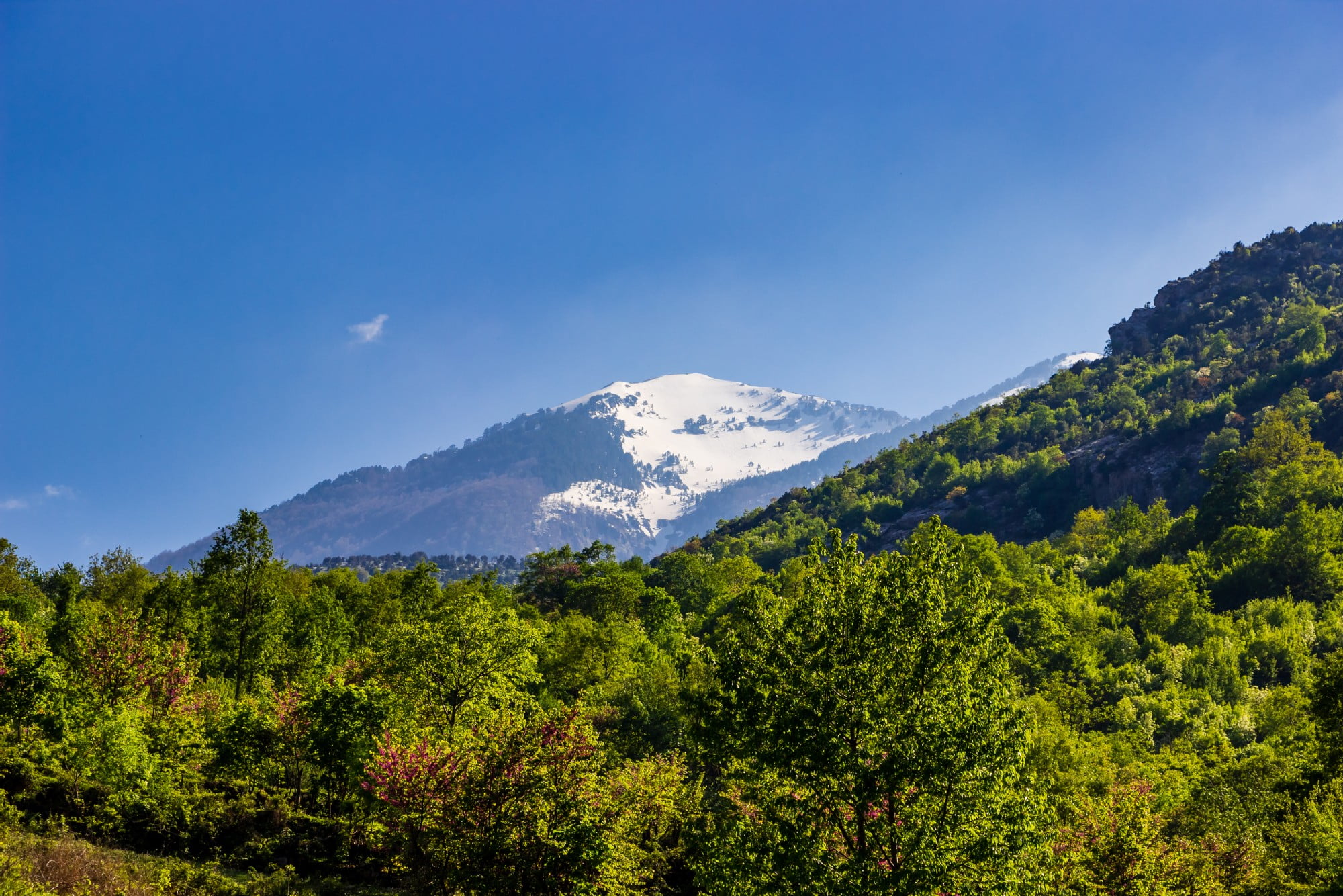
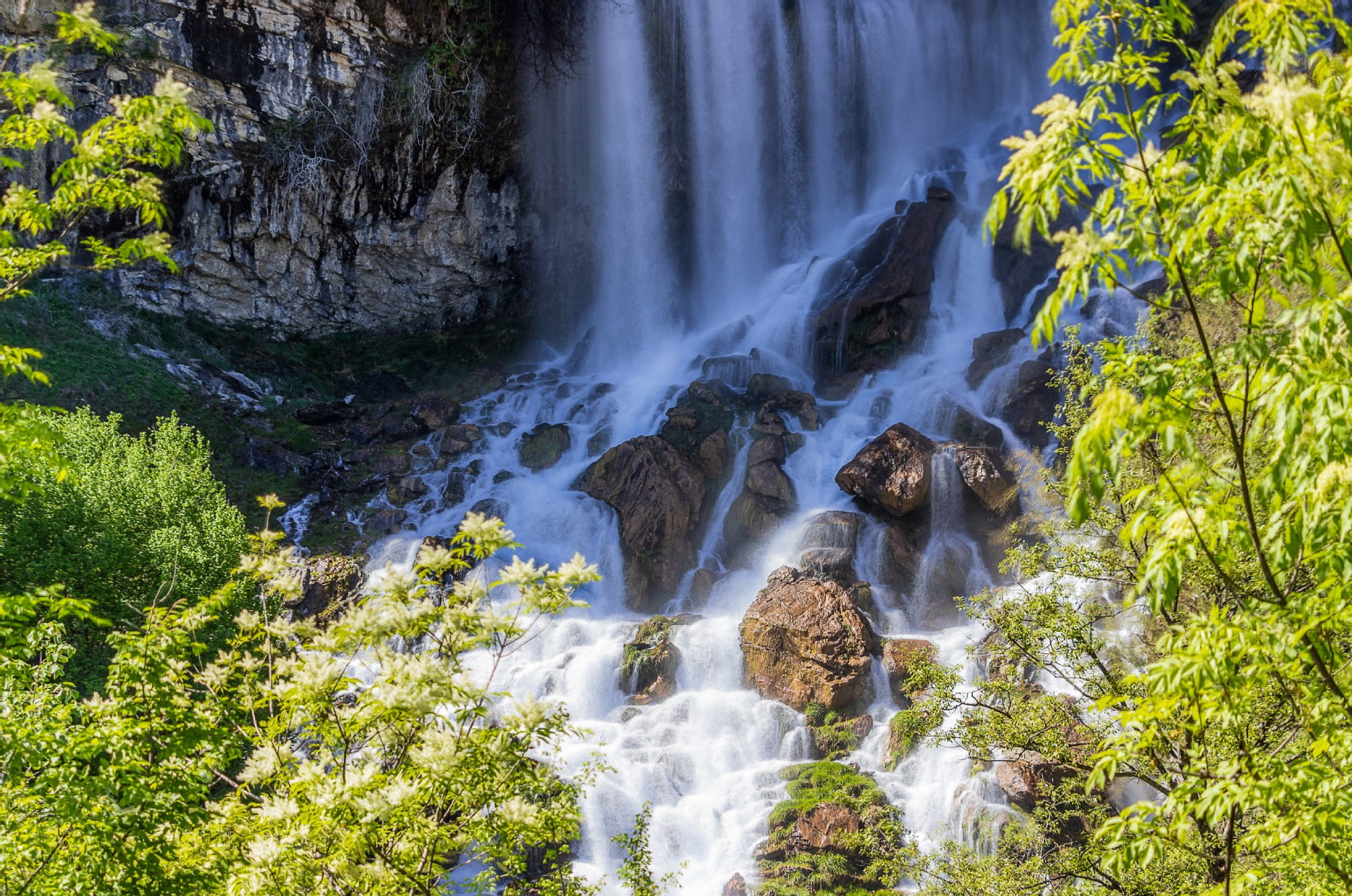
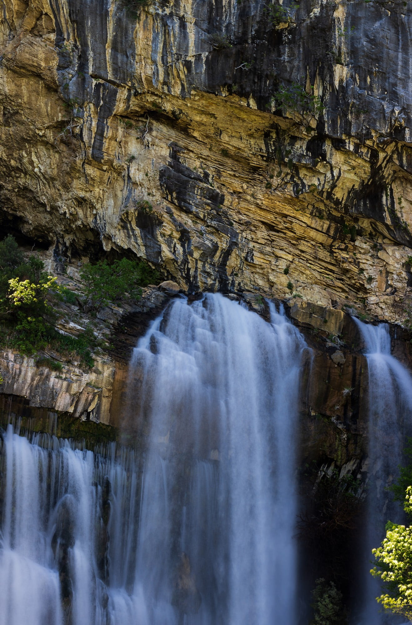
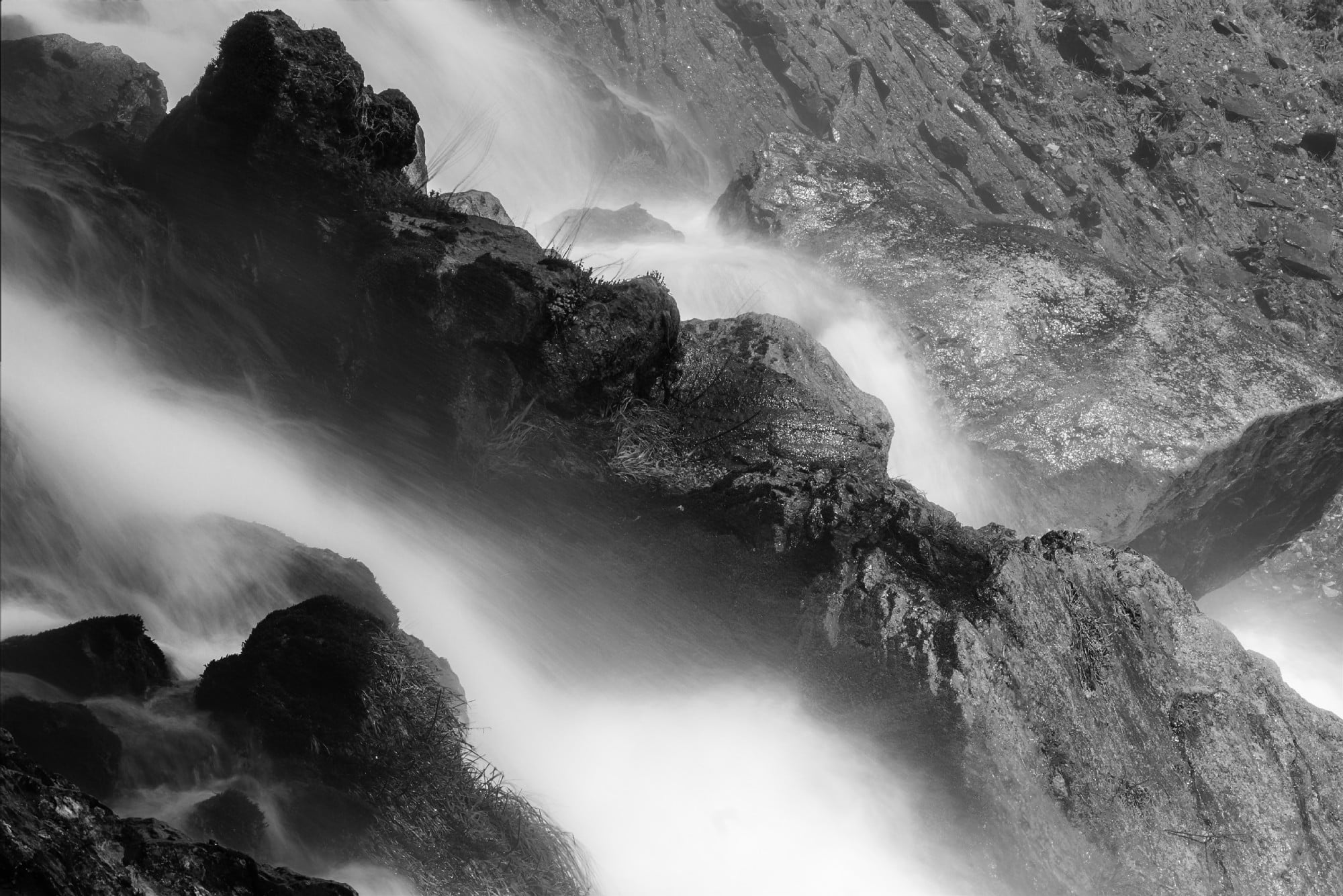
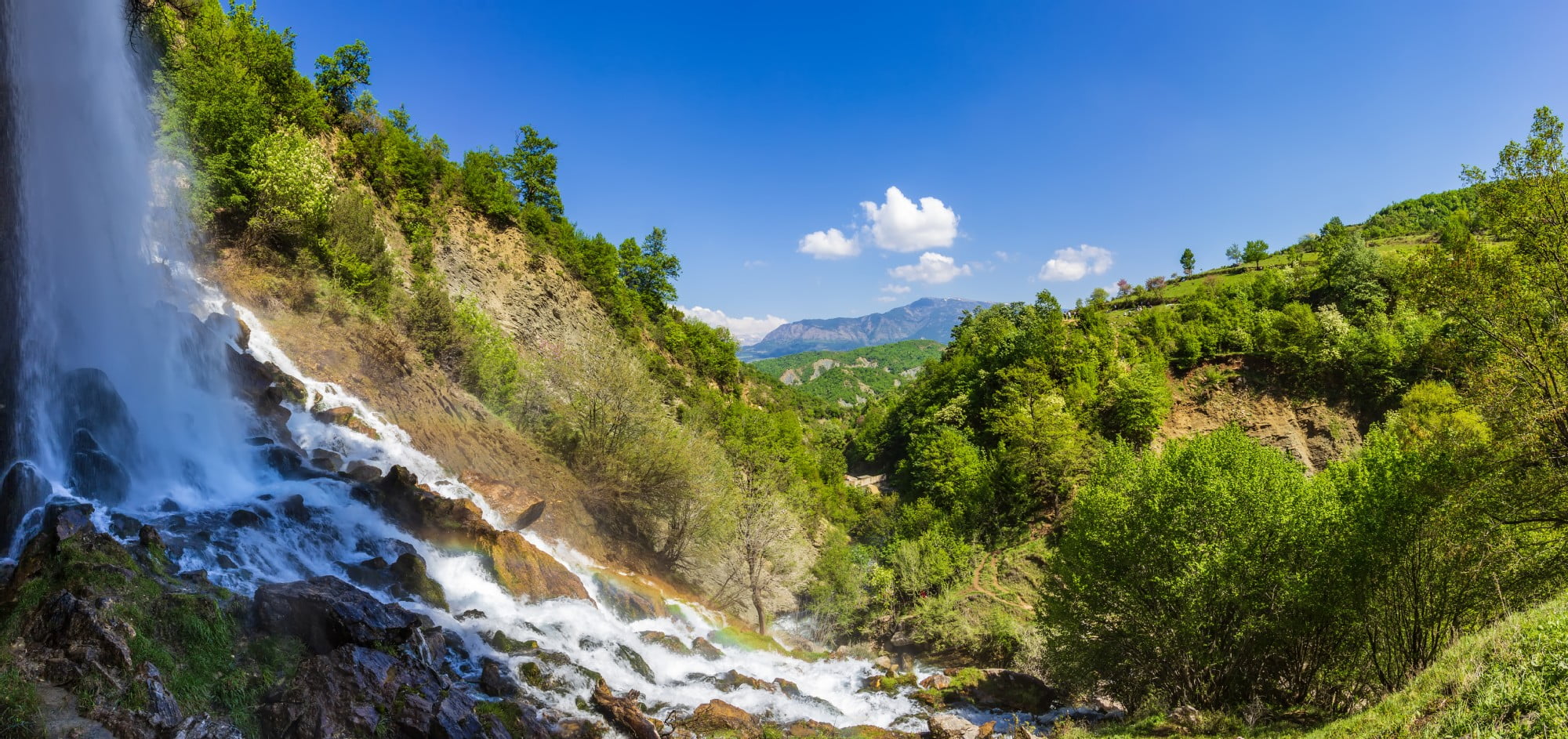
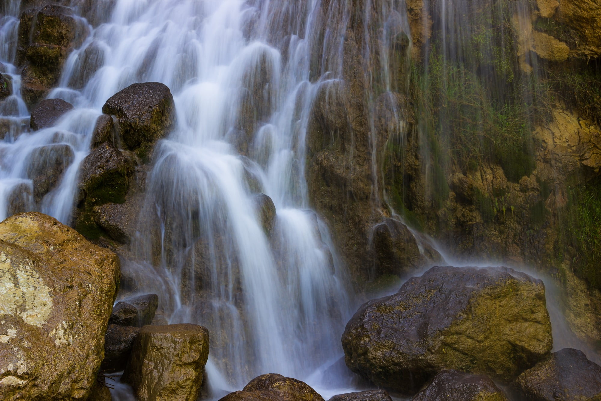
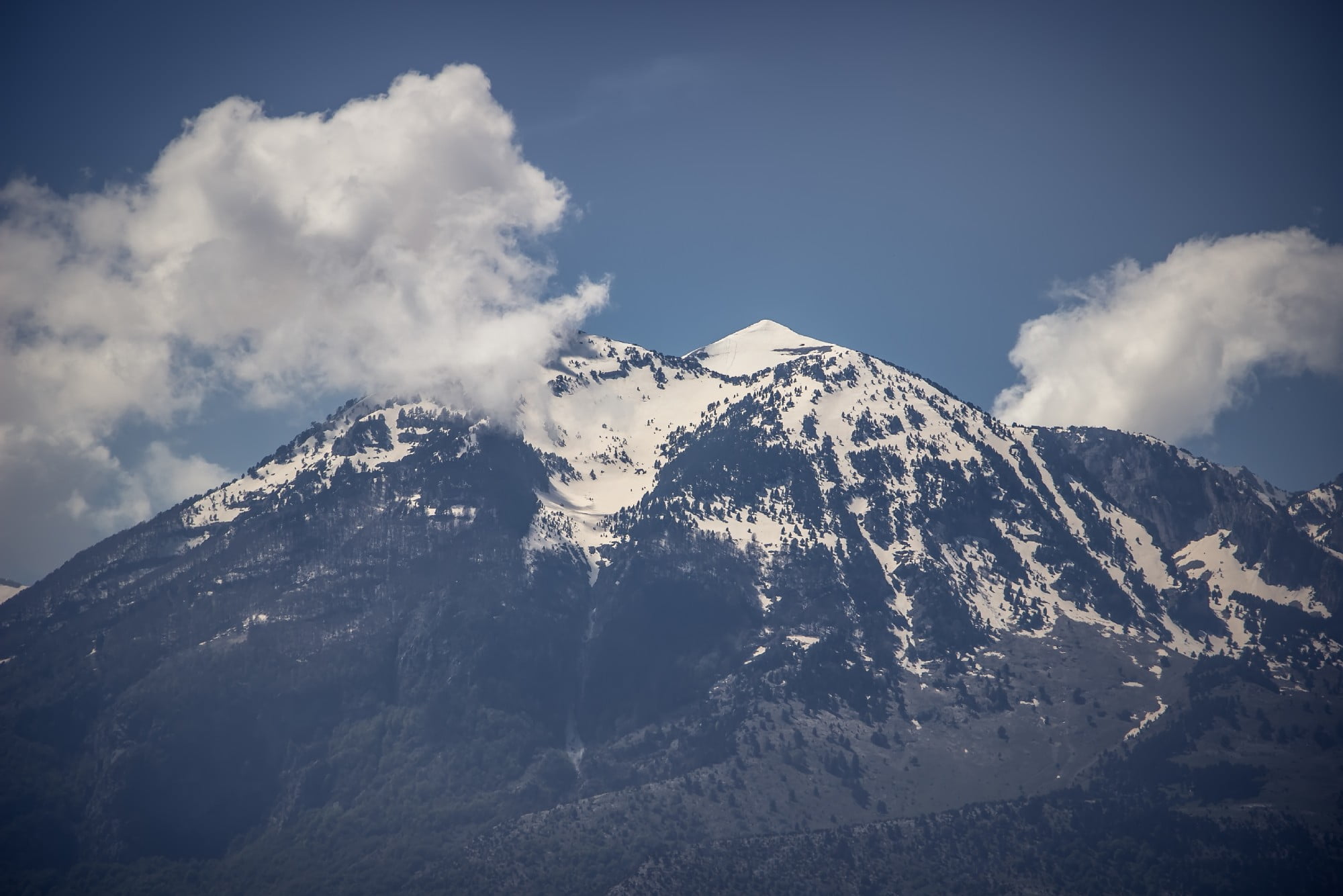
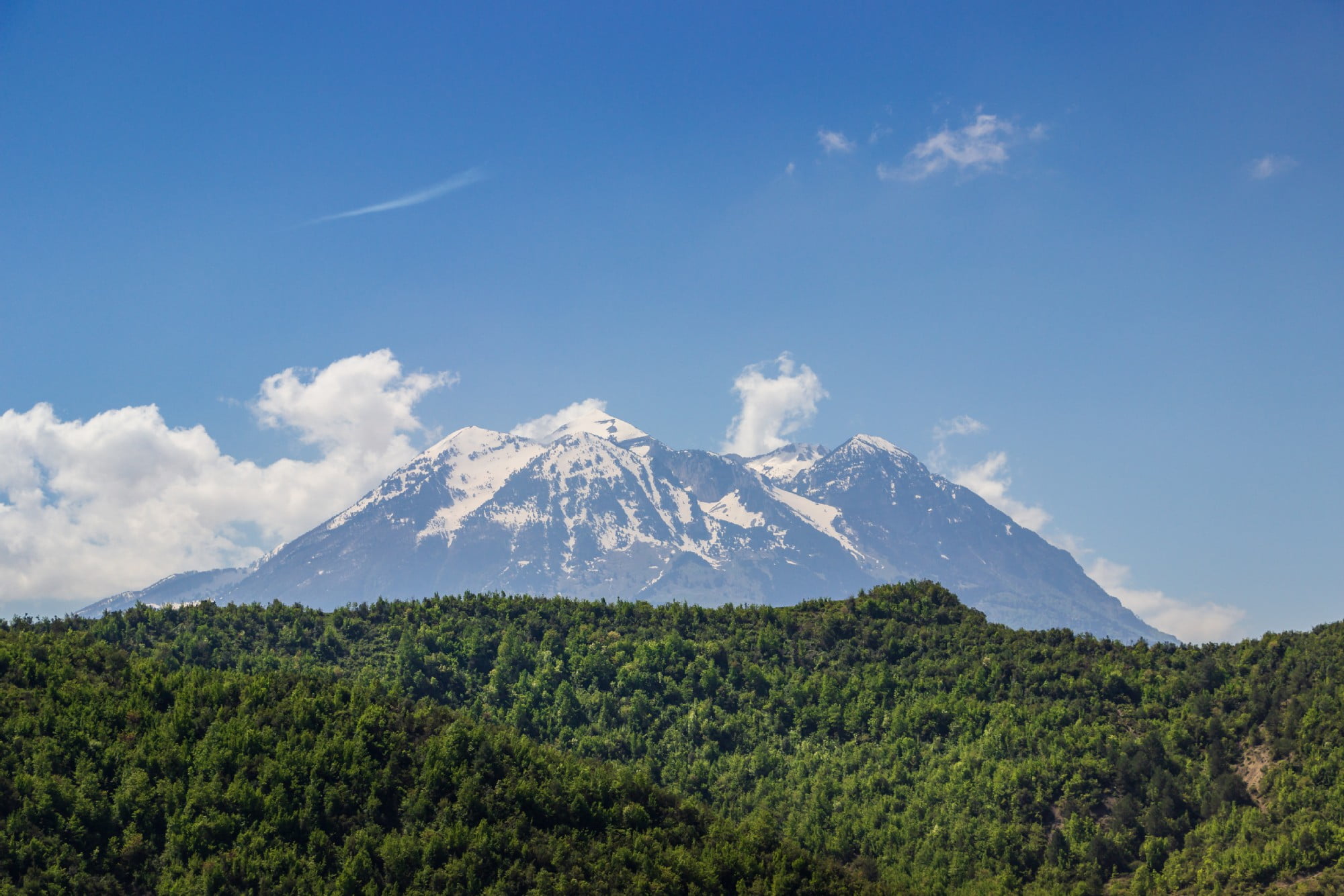
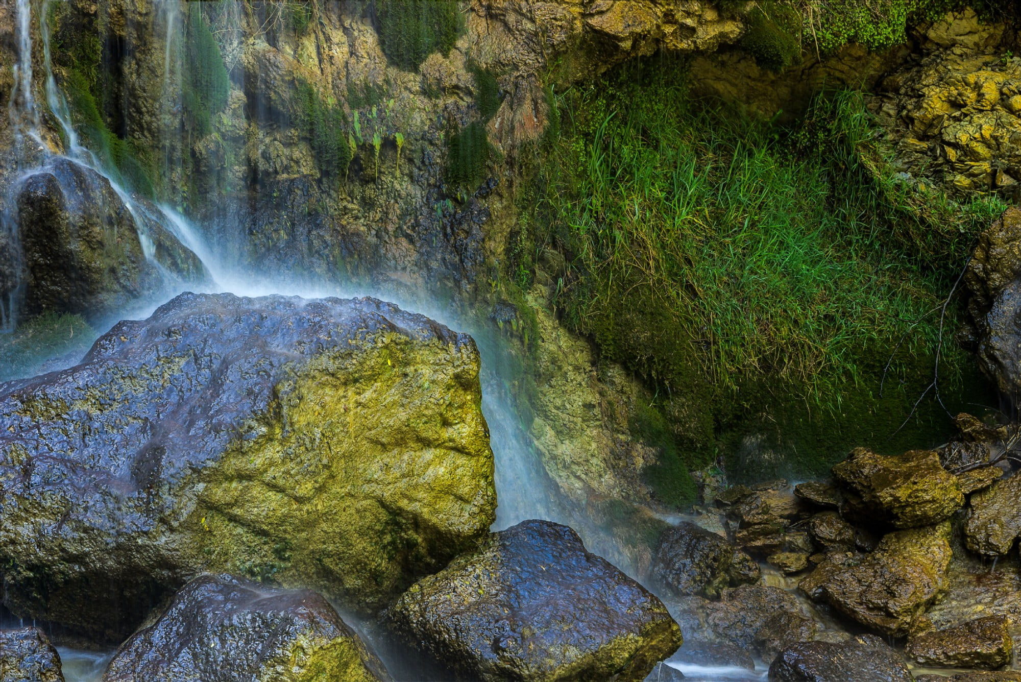
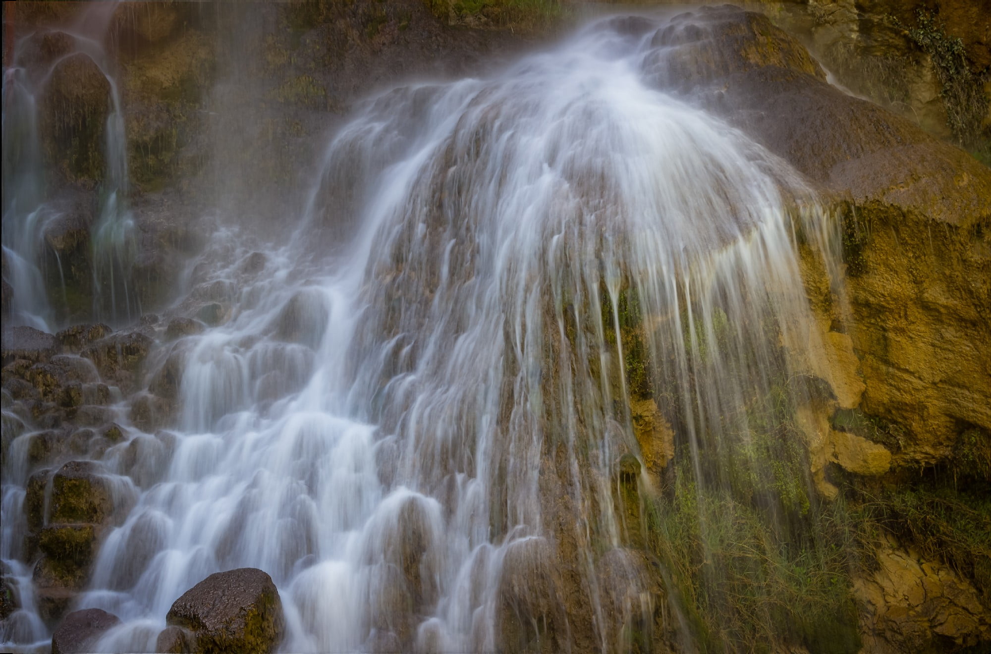
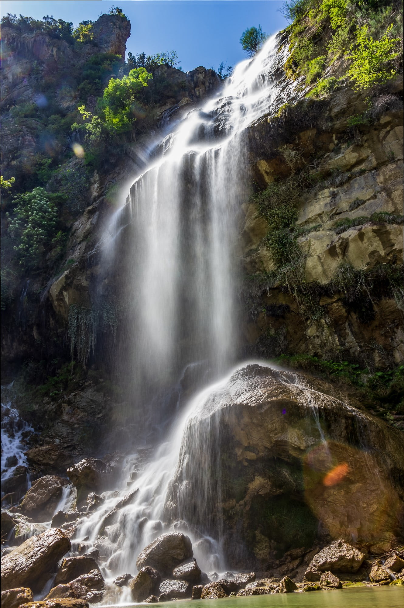
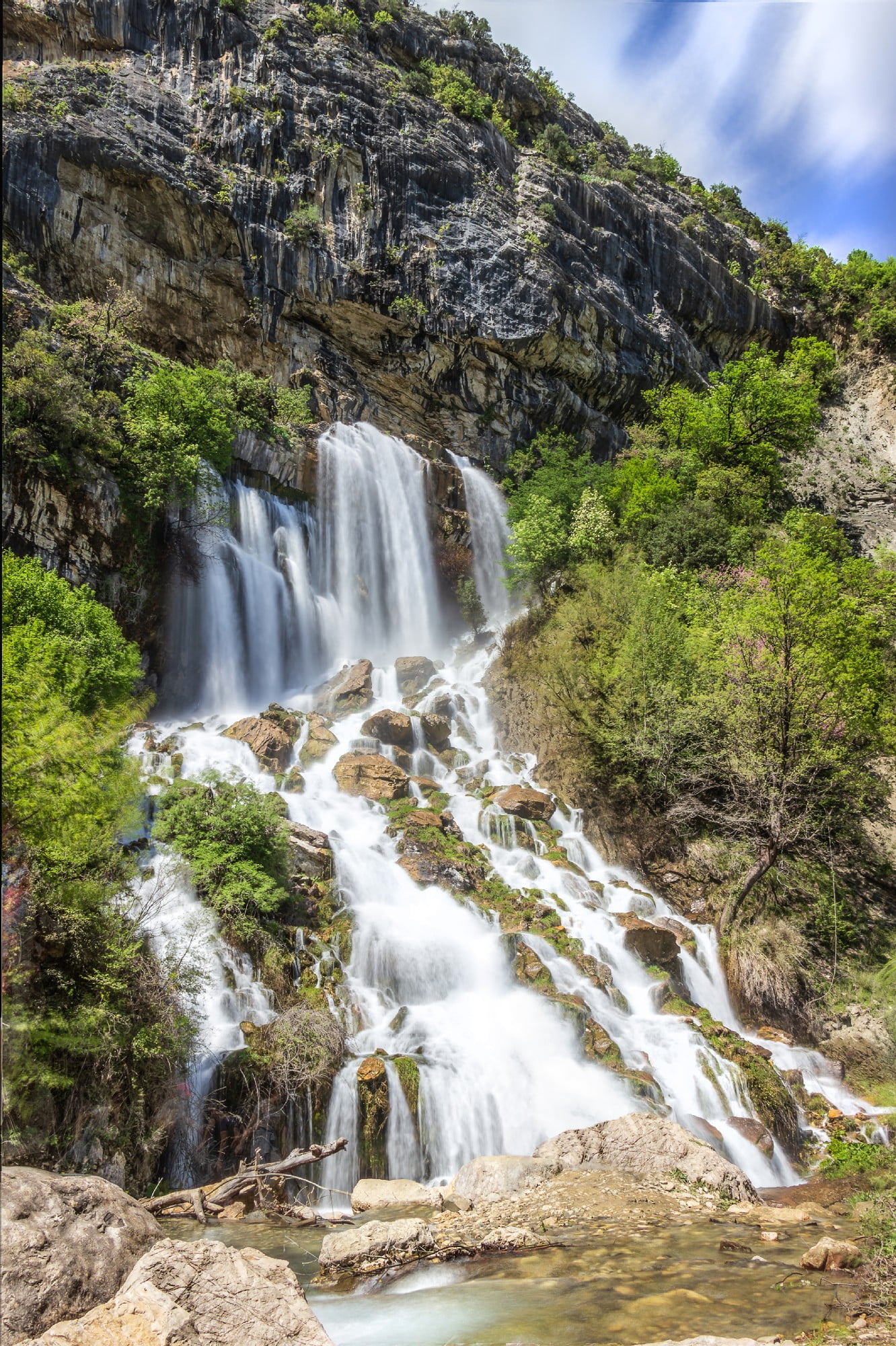
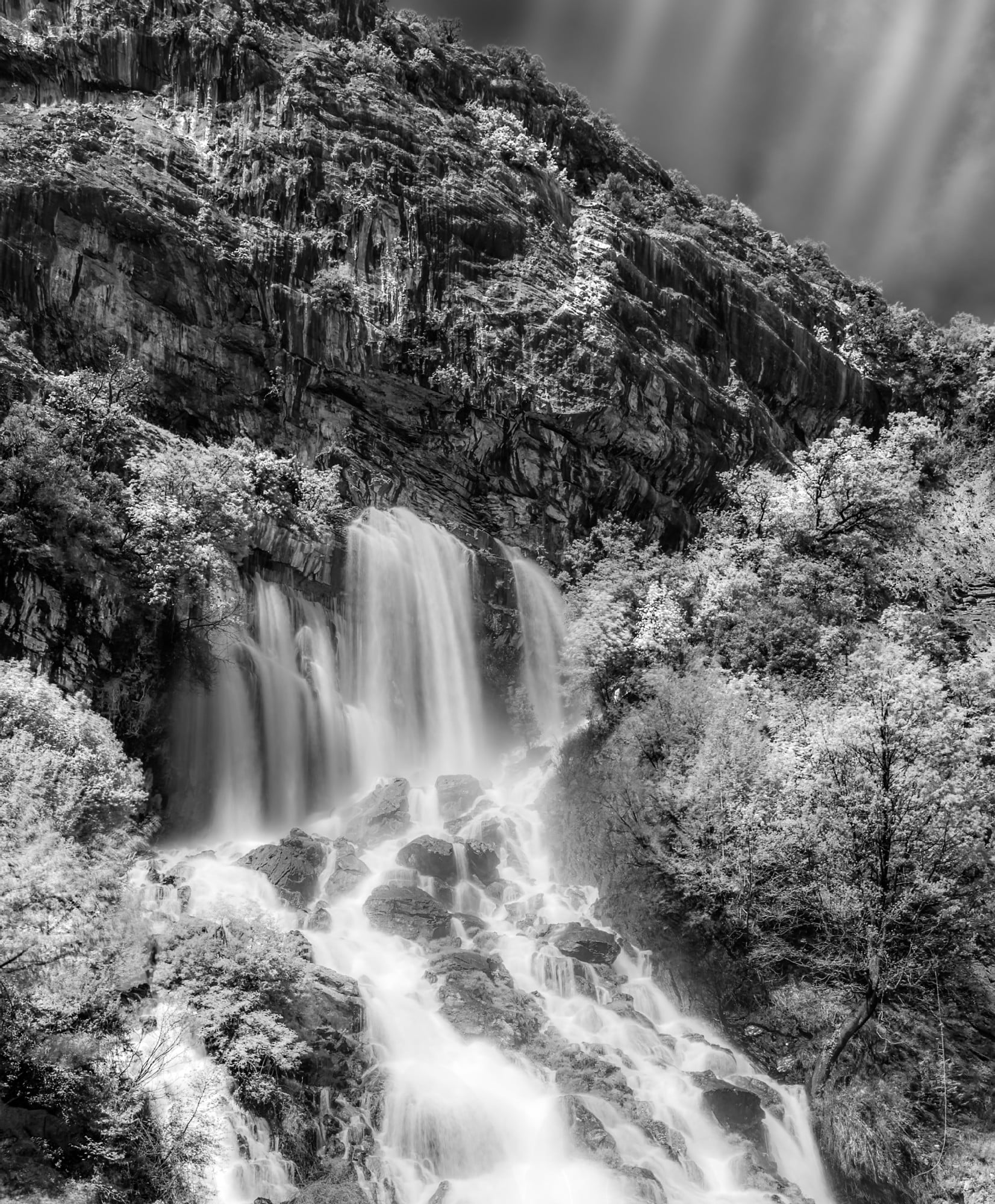
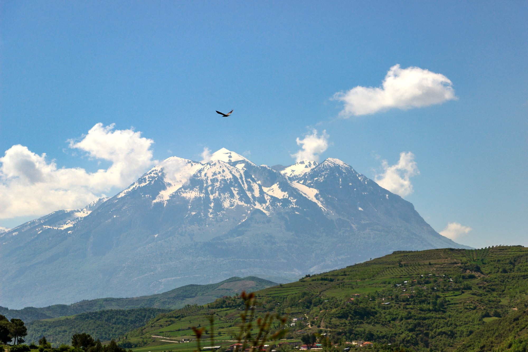
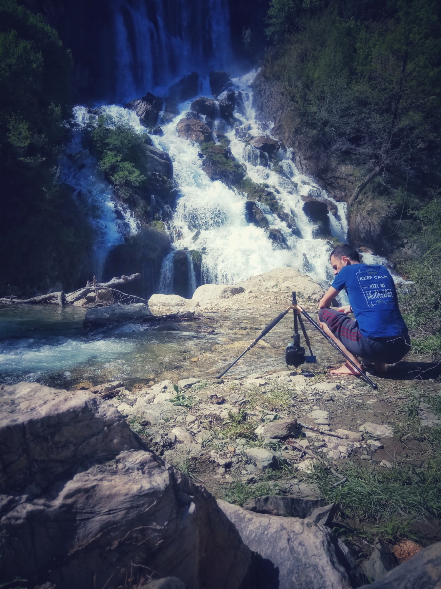
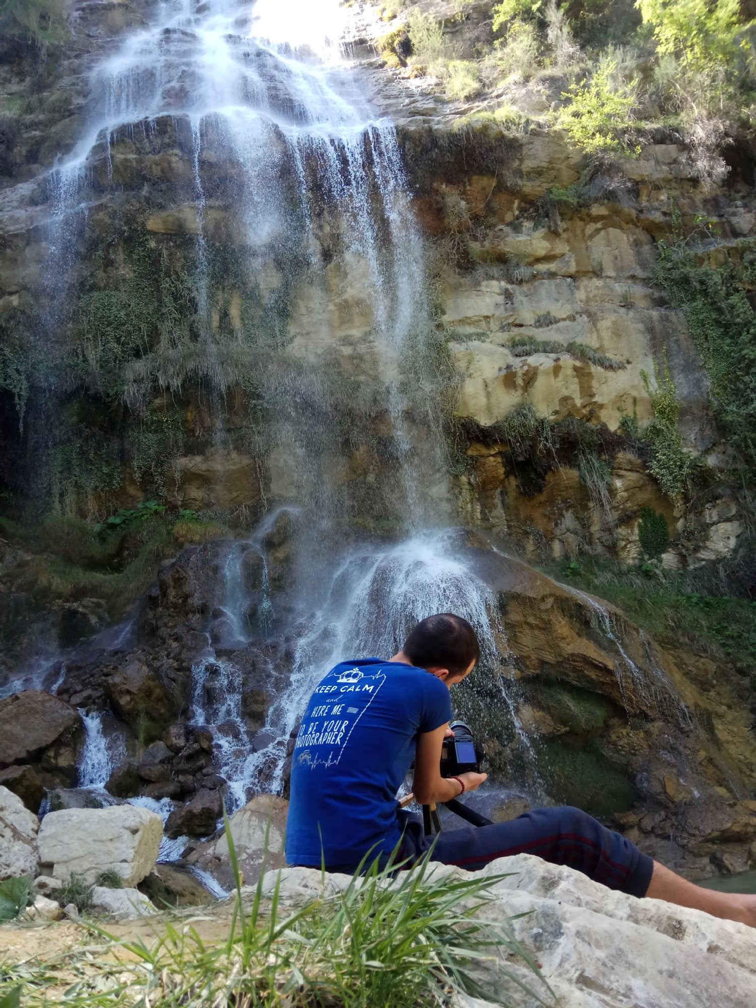
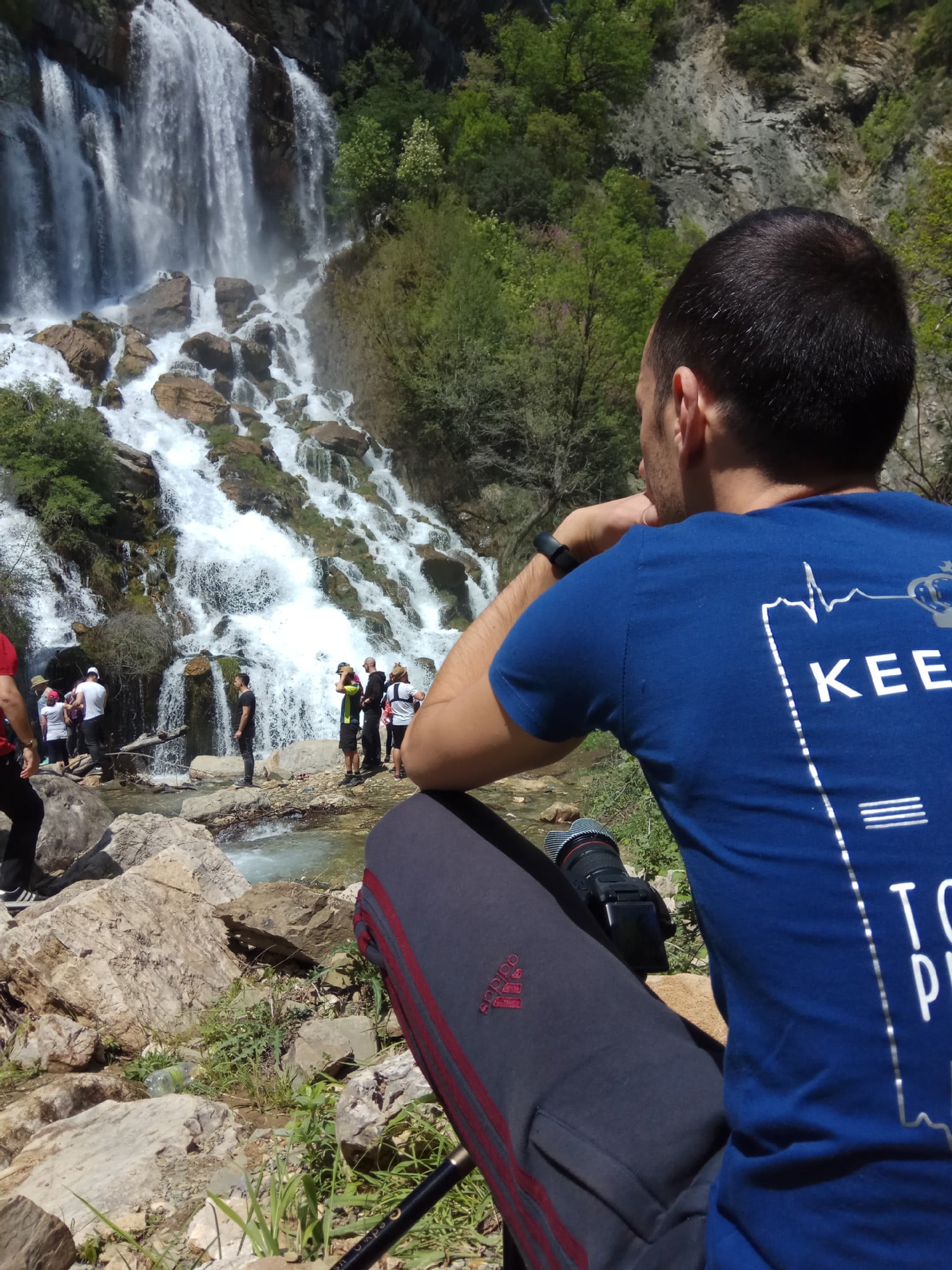
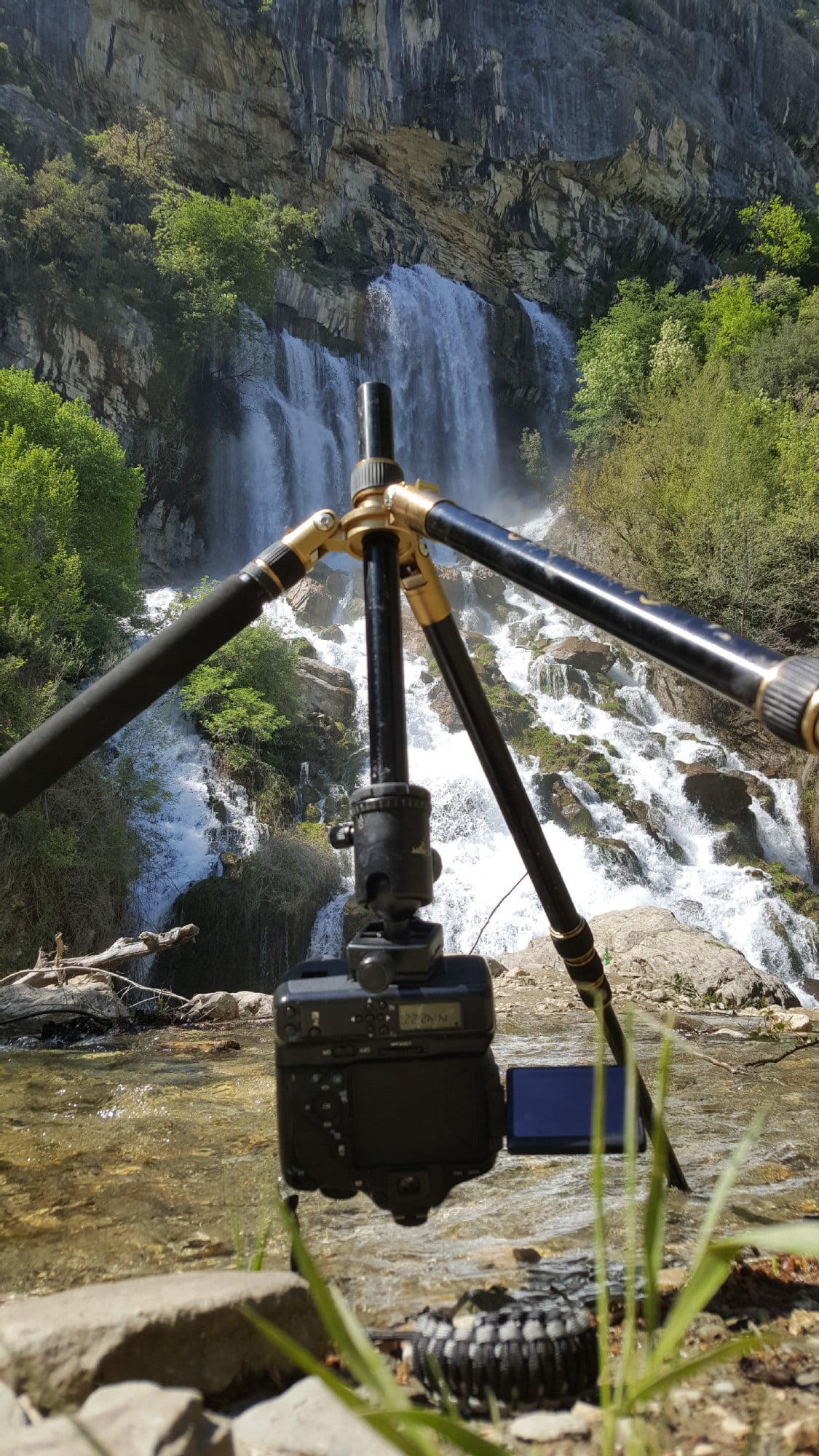
Sotira waterfall is one of the most unique in Albania, located at the northeast foot of Mt. Tomorr approx. 20 km from the town of Gramsh. Standing high at around 100m, it’s formed by the major source comes from the longitudinal cracks in the craggy limestone rock.
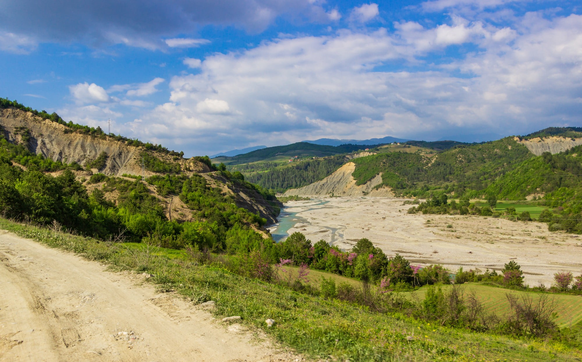
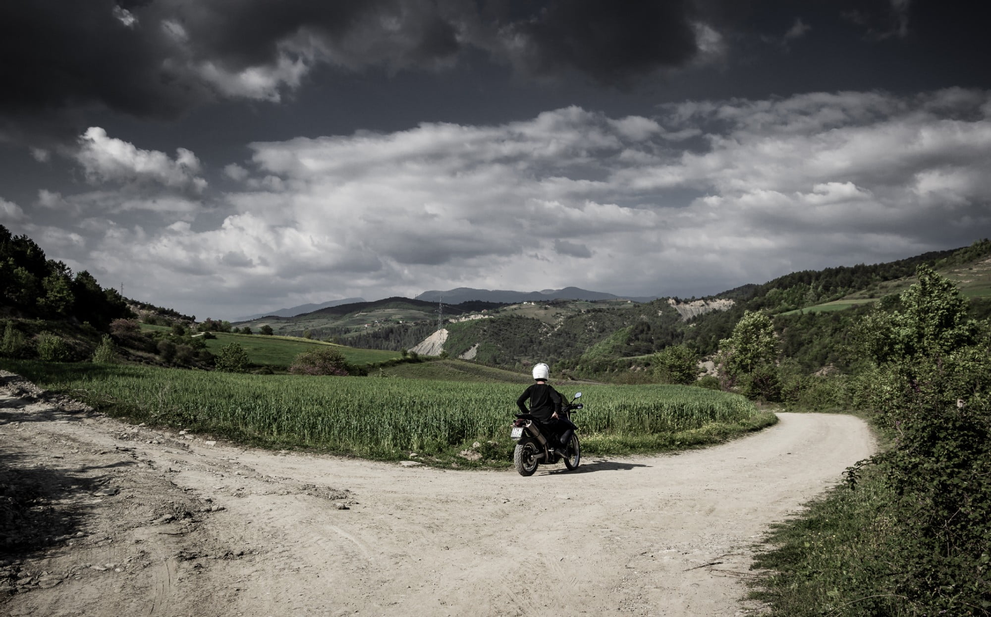
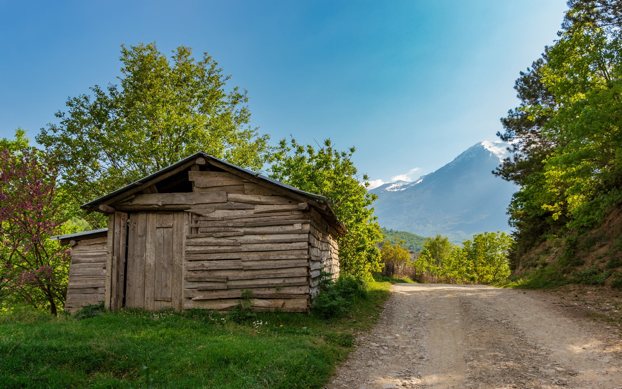
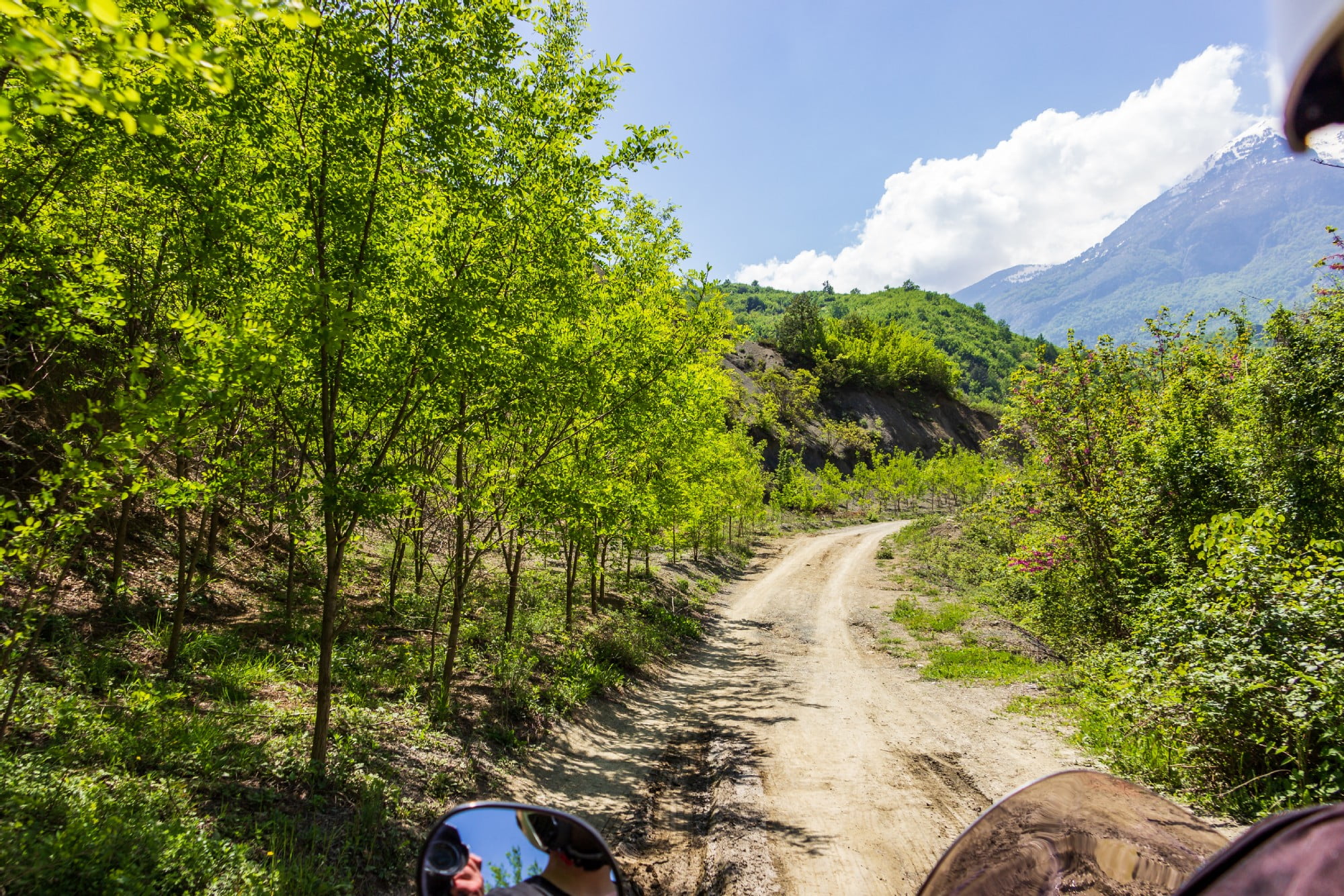
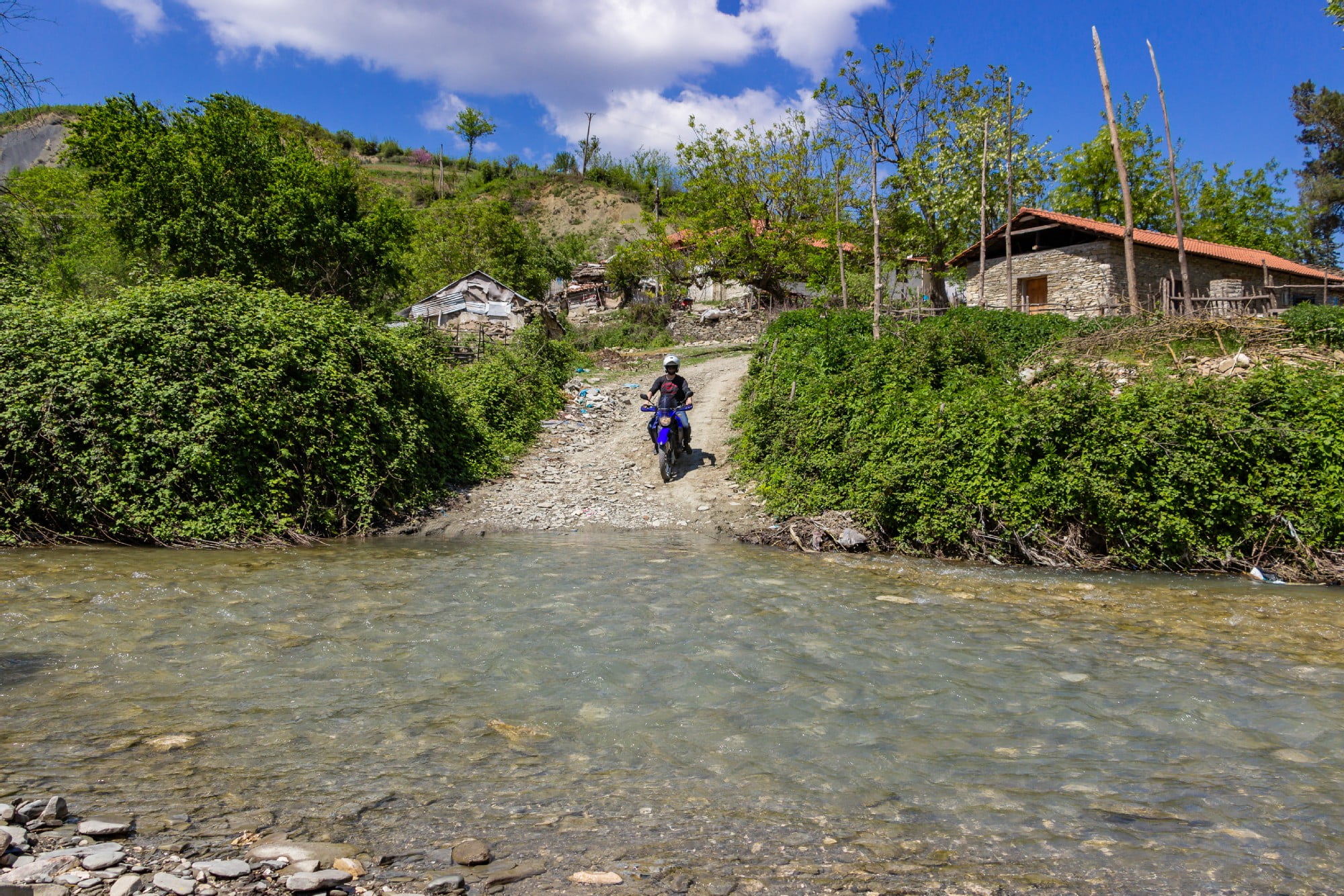
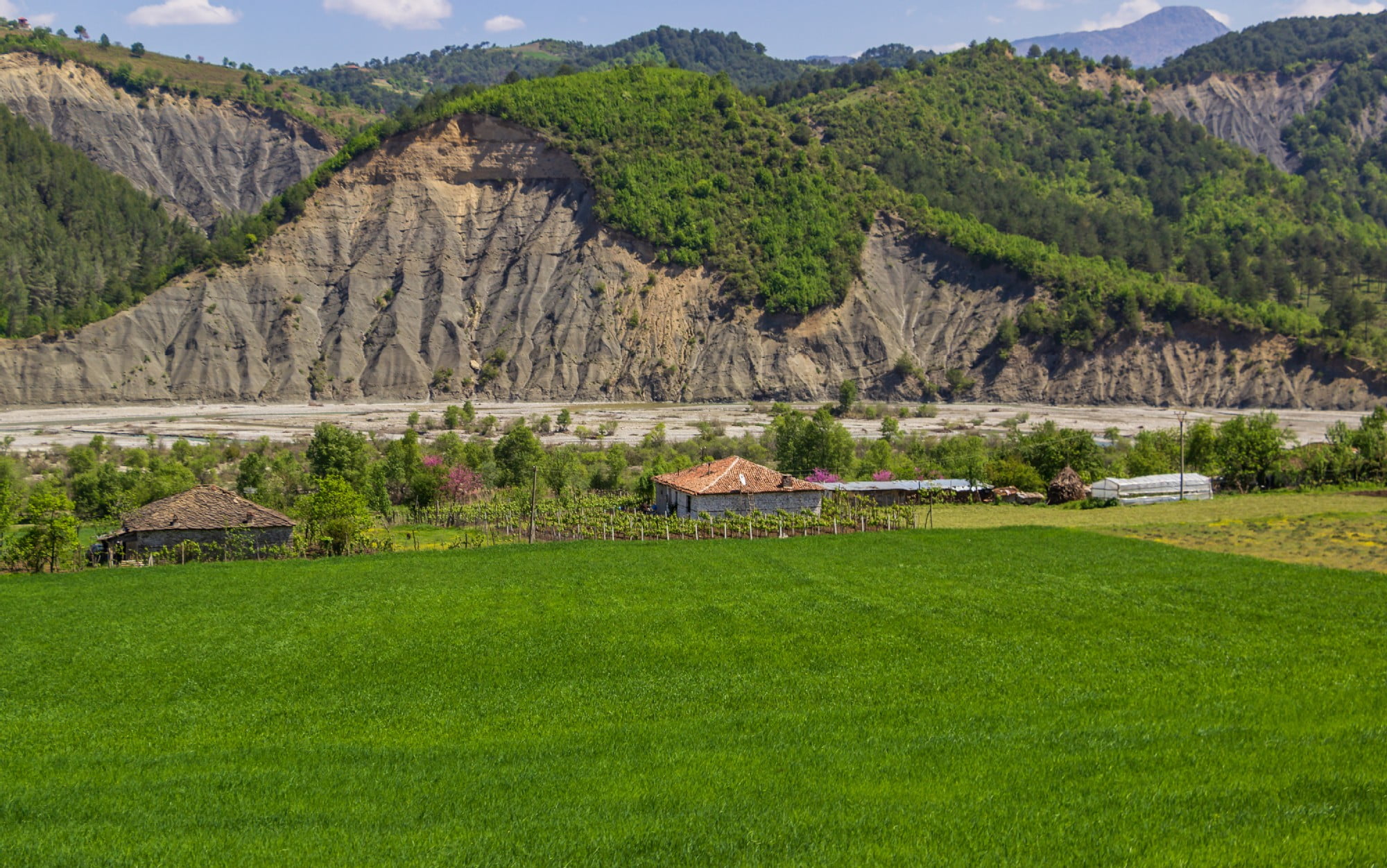
To get there one has to drive on an unpaved road to Sotirë village (where the waterfall got its name) and then walk around 1 hour to get to the waterfall.
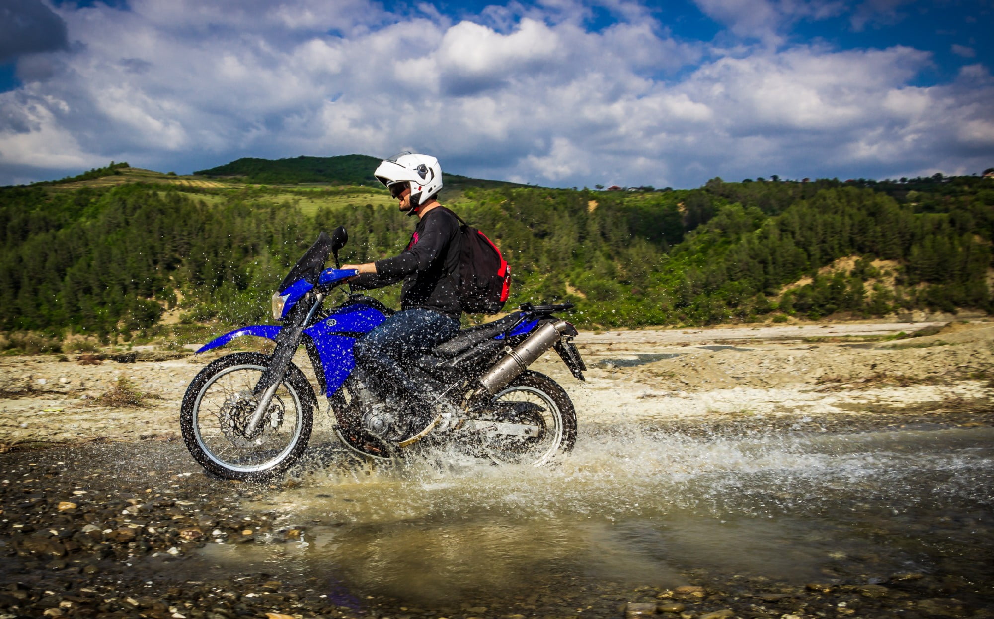
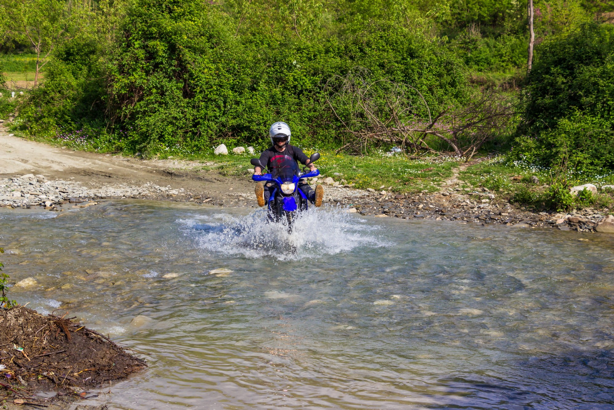
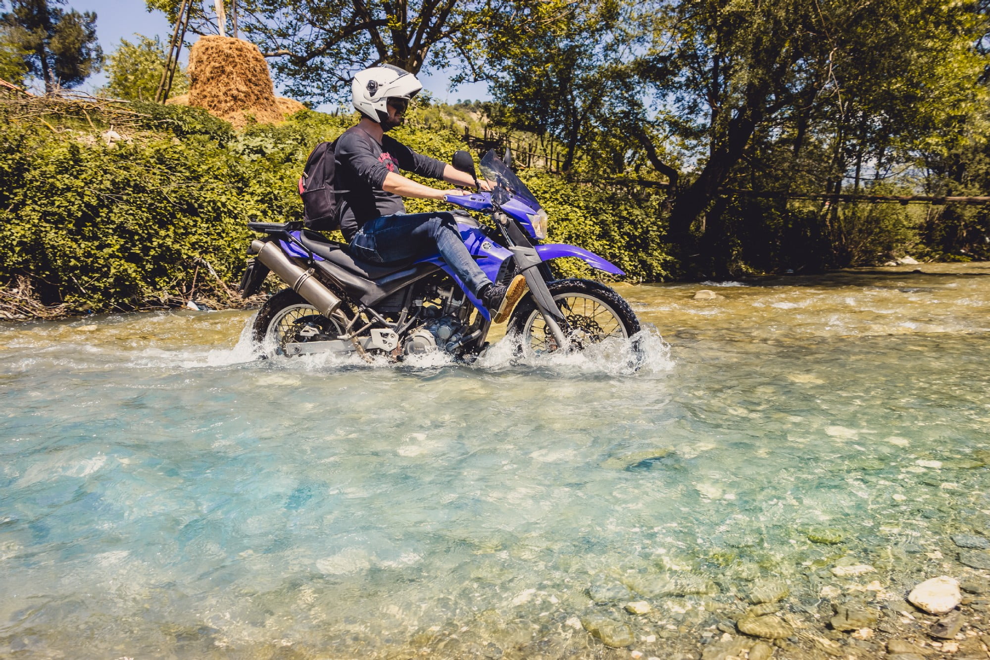
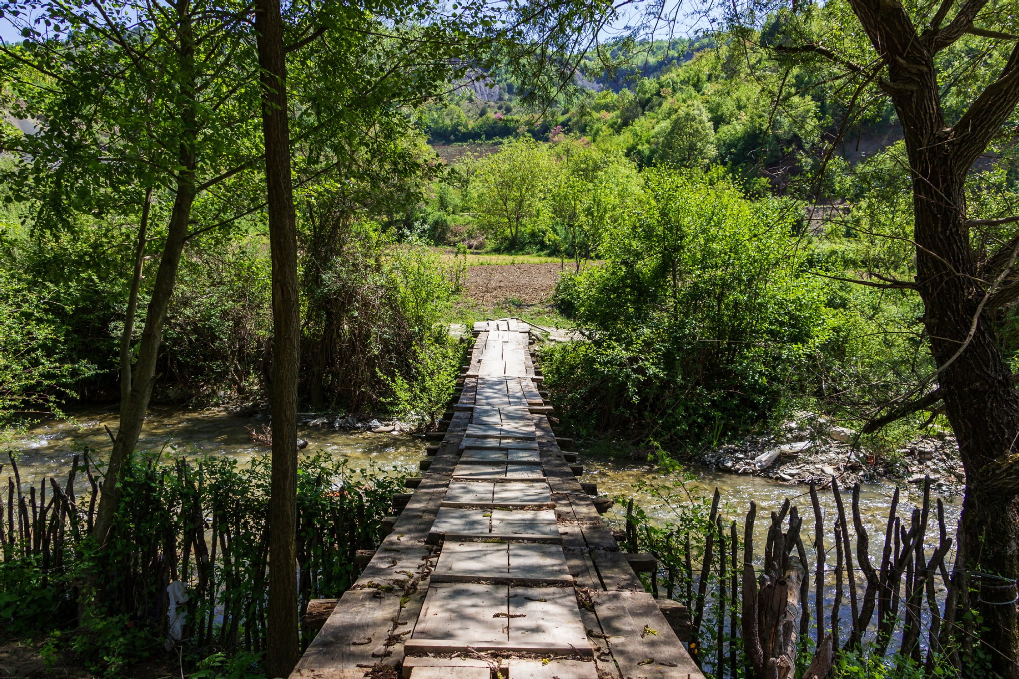
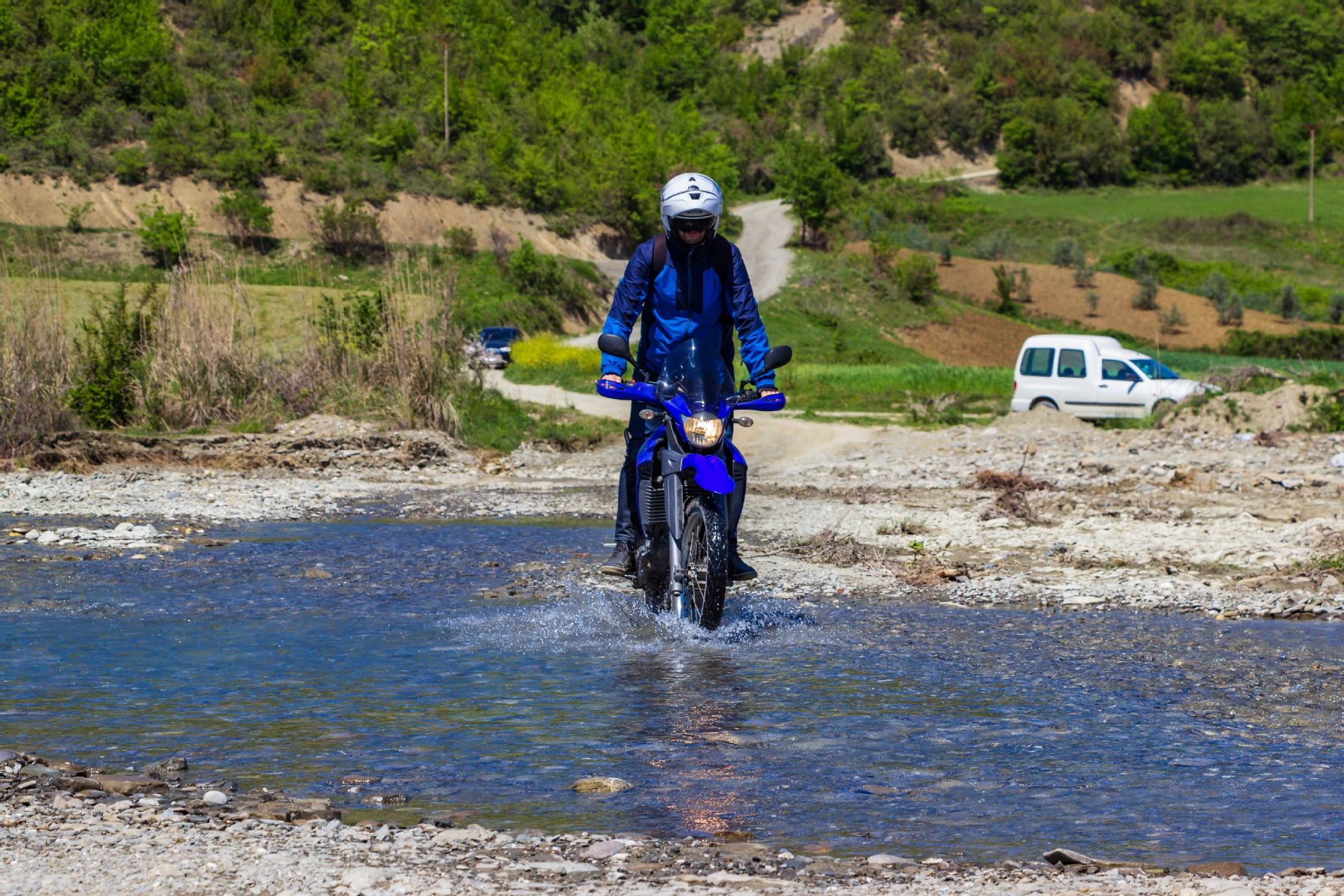
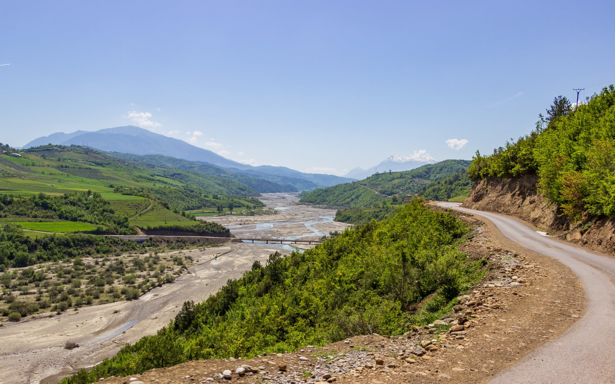
At some point the water that flows from the waterfall becomes a river (further down it merges with Devoll River) which blocks the access to get to the waterfall (except if you’re on a 4×4 off-road and enduro/motocross bikes). If you are visiting the waterfall during summer, be prepared to walk under the scorching sun as there are very few trees on the sides of the road to hide from.
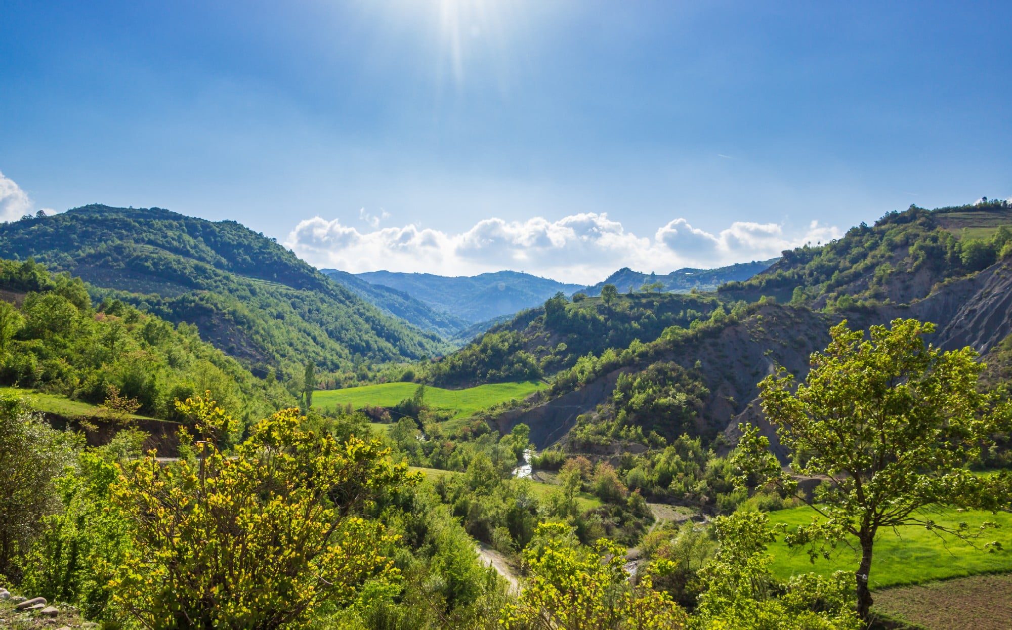
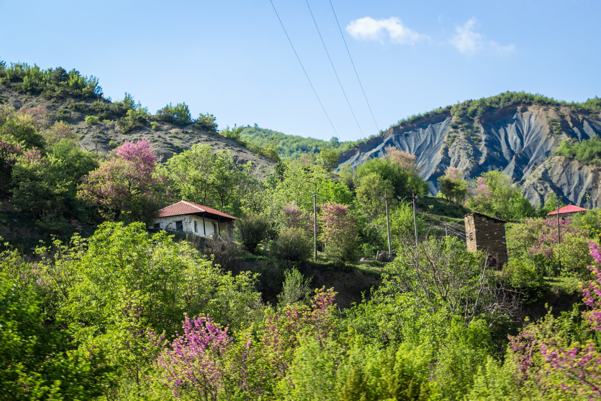
The height of the water fall varies from 5 m to 20 m high. The landscape of the slope where the water comes out, in the middle of forests and oak trees, is wonderful. The plant world around the waterfall is extremely rich, with linden trees, lofate, strawberry, oak and even wild chestnut, which is rare in the wild.
In front of the waterfall is located a inviting meadow for camping/resting with wonderful views but be aware if you want to camp there as the sound of the waterfall can be heard far away and it might get difficult to sleep.
